Many of the projects undertaken by Porter Consulting Engineers, P.C. (PCE) require the acquisition of field data, the performance of field surveys, and the preparation of accurate mapping and site drawings. Therefore PCE maintains a full compliment of electronic total station, robotic and Global Positioning System (GPS) surveying and data collection equipment.
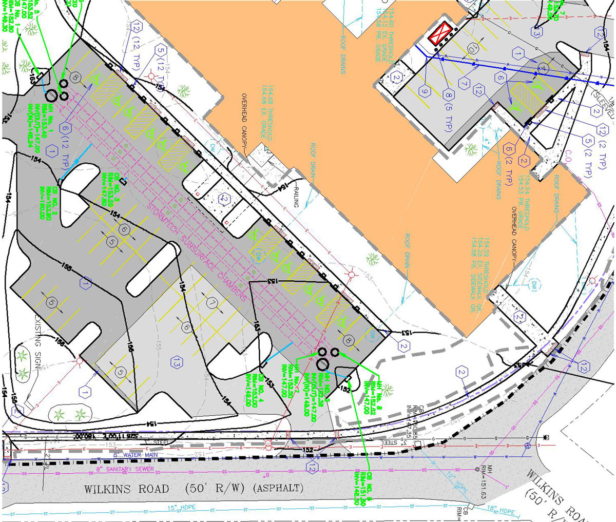
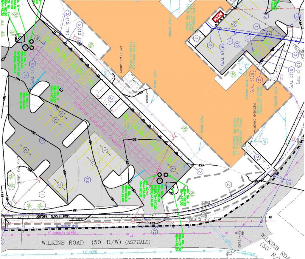
Additionally, PCE utilizes state-of-the-art computer technology to prepare all project drawings and maps. The use of Computer Aided Drafting and Design (CADD) systems as well as advanced civil engineering software systems allows PCE to prepare accurate digital drawings that can be utilized throughout the project to provide valuable design and site development data.
The digital drawings prepared by PCE can be utilized to generate three-dimensional surfaces from which earthwork "cut and fill" determinations can be prepared and stormwater runoff volumes can be calculated. The digital drawings can also be quickly adjusted or revised to address current needs and reflect changing site conditions.
The surveying and mapping services provided by PCE include the following:
- ALTA/NSPS Surveys
- Construction Layout and Site Stakeout
- Topographic Surveys
- Global Positioning System (GPS) Control and Location Surveys
- Floodplain/Floodway Surveys and Certifications
- Watershed Surveys
- Equipment and Machinery Alignment
- Federal Aviation Administration (FAA) Location Certifications
- Detailed Site Mapping
- Land Use Mapping
- Subdivision Survey
PCE provides the resources needed to meet your project needs, from mapping your site to final facilities design.


